Friday, December 20, 2013

Day 8 - Reporting the ENSDI work

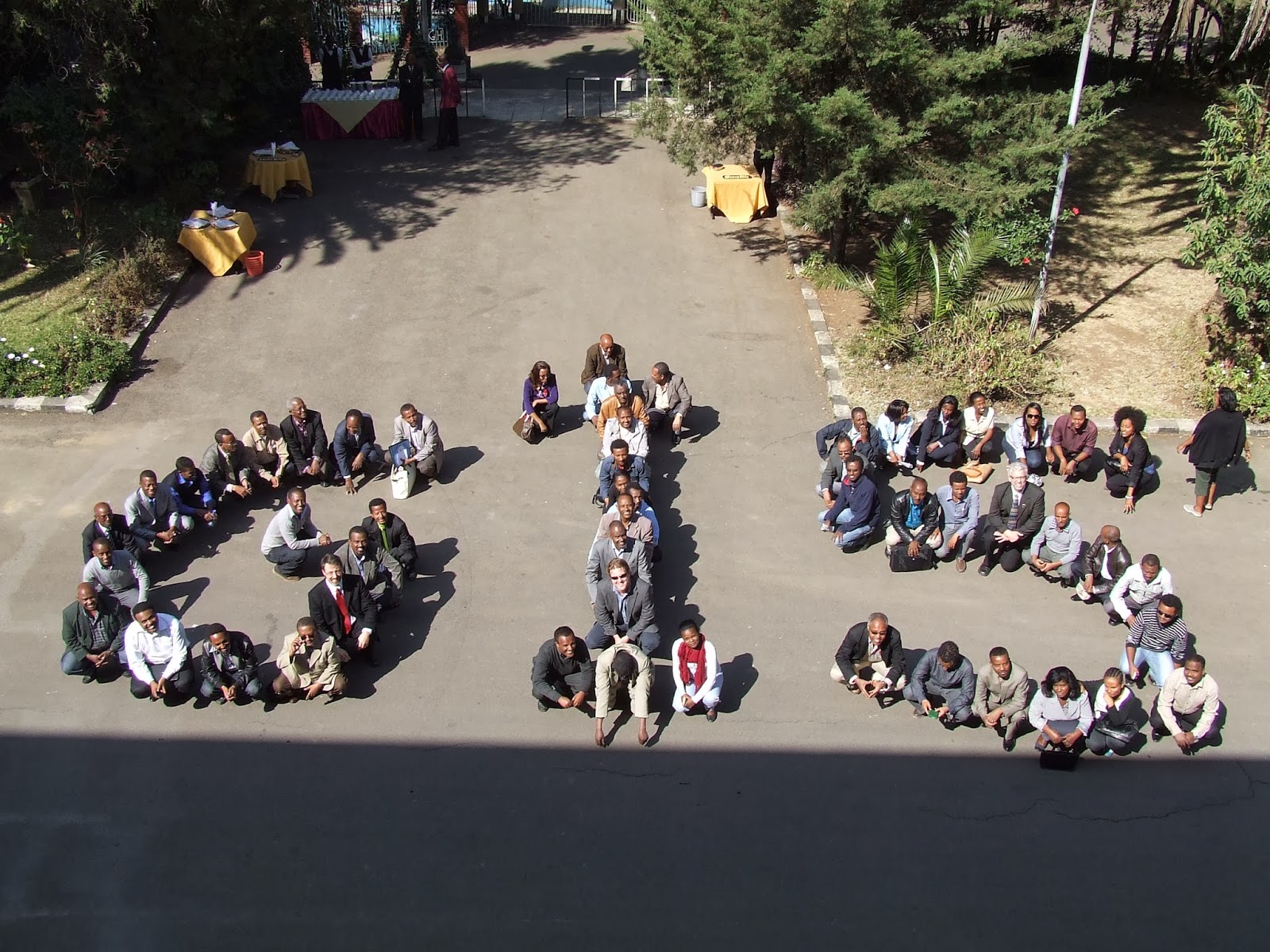
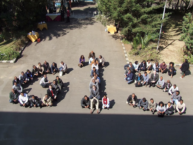
Our last conference day was incredible!

The last session of the day was to summarize the work of the week and then to begin to discuss ways forward. I presented a lecture to provide a context for our the activities of the week. Recall that yesterday as I was teaching web GIS aspects, there were two rounds of discussion by my Ethiopian GIS colleagues on the current and future steps of NSDI in Ethiopia.

After completing the summary, we had a fellow Ethiopian GIS colleague give a report on the rounds of discussions from Thursday. One of the many brilliant GIS experts in the country and one of four team leaders of the Bahir Dar Geospatial Data Center, Getachew Tesfaye, gave the presentation - which he was lauded for in clarity and summary.

Getachew presenting the summary and 5 main points towards next steps

After Getachew's excellent presentation, the Director of the Ethiopian Mapping Agency gave a wonderful address and interwove the recommendations for moving forward with additional initiatives that fit towards and NSDI. He commented on the current steps towards the NSDI moving forward and documentation toward that end. Director Muhammad is not only a gifted leader, it was clear his intentions are to include the GIS community experts in the process as he has relied on them in the past and is relying on them now. Personally I was very very impressed with the leadership members of EMA during the week and paid particular attention to their discussions around the table. I have tremendous respect and confidence in the GIS community in Ethiopia to continue pushing towards a National Spatial Data Infrastructure. One additional next step discussed by Getachew is the next GIS workshop towards NSDI to be held soon at Bahir Dar University next year.

Dr. Bascom given out various certificates of accomplishment

Dr. Bascom given out various certificates of accomplishment


As a gift, the participants gave the most beautiful neckties to Dr. Bascom and myself. Here we are in celebration with Director of EMA, Sultan Mohammad.

The goals of the week were accomplished in wonderful ways. The next steps forward are being crafted by Ethiopians and it was a great opportunity to be with my GIS colleagues as a simple voice in guiding some of their thoughts. I am excited for Ethiopia and for the benefits that will continue to develop towards and NSDI. I will continue to remain in the efforts as is needed.


Thursday, December 12, 2013

Day 7 – Power in the Conversing Word


Spectacular! Tired! Spectacular! and tired.

As a different approach today, I headed to GeoMark, a private GIS company in Addis to access their high-speed Internet connection to lead our conferees to the possibilities around the concept of web mapping towards a geospatial data clearinghouse in a NSDI. 

 Ghion Hotel in the center of Addis Ababa

 Ghion Gate to the Gardens 

I taught my fellow GIS colleagues deeper knowledge of what is available and how to construct online GIS web maps and build applications that can be deployed through iPads and iPhones, etc.. In addition it was a wonderful time to show them the Ushahidi course that I developed on Udemy.com to teach them how to do crowdsource mapping from volunteered geographic information (VGI) for free. https://www.udemy.com/crowdsource-mapping/

However, I only taught 25 conference folks at a time. The other 25 were deeply engaged in a conversation and debate about the current status of geospatial data towards a NSDI. Part of our hope and plan of schedule was to encourage this kind of deep and honest assessment and conversation – Ethiopian expert to Ethiopian expert. Even on Monday I said, “You don’t really need me, you just need each other”, referring to the concept of working on the NSDI. It has been a joyful and full day. My voice is shot, my legs are cramping (Addis is at 7605 feet above sea level), I am pretty much getting no sleep at night, and I have a 101 other things to complain about. But really I am in such a joyful place because of this opportunity given by God to impact my colleagues this way.

I don’t know what the future holds for the NSDI in Ethiopia and I hope that these wonderful folks will continue to be enabled to move ahead. What role I get to play, I know not, but for now this role is joyful in abundance. Here are some snap-shots of our conference room celing. The name of the conference room was called 'Sheba'. The panels were the historical life of Queen Sheba.


We had a celebration meal banquet in the evening in a traditional Ethiopian style meal. It was spicy and delicious! Among the wonderful conversation and food and drink, my colleagues and I enjoy ourselves very much!


Missing my family on this very full day!  One more morning session on Friday to summarize and wrap-up and the off we go to Dubai and London.

Wednesday, December 11, 2013

Day 6 – “Your Geospatial Data is a National Asset”


Forgive my title of the technical jargon but it was the quote of the day to encourage among my fellow colleagues. Today it was a gorgeous 75 degrees with full sun and I got outside a bit more than normal as we had lunch in the gardens and I took my peers to training in amongst the trees of the grounds as we continued our work towards an Ethiopia National Geospatial Data Infrastructure. 

We did most of our work today thinking about the most important core themes to propose to the concept Federal Data Geographic Committee. I lectured and then had members build consensus and conversation about the most important core themes. It was another engaging exercise as it was the second day that - when lunch was called, most people just wanted to keep on working. That was enjoyable to see and I think a nice possible model for success – conference attendees typically want things to end as soon as possible to get to the more fun stuff.


After a wonderful lunch discussing the food system in the United States, which I am quite opinionated and passionate about, Johnathan engaged them in an excellent exercise to continue the leadership and collaboration.  Here are few shots of the teamwork developing:


To develop deeper ideas about metadata, I gave our participants several tasks on data collection and documentation. Although somewhat simplistic in design, it offered us a chance to have a conversation of consequence about documentation and potential standards in the data collection process as well as a conversation about projections and datums in much more deep ways than they anticipated.


The new light rail line going in

A Bus for my colleague Mike (9.011202,38.762843), looking to the east

Our evening ended with a wonderful conversation over dinner with the Deputy Director of the Ethiopian Mapping Agency at a cool restaurant started by an Ethiopian who lived in the Great White North for 15 years before coming home – the name of the restaurant – Oh Canada!  

http://addisfortune.net/articles/oh-canada/    - I had the Ottawa Senators Cheese Burger. It was so great!

Tuesday, December 10, 2013

Day 5 – Standards To Be Measured


It was another glorious day in Ethiopia today. The sun was shining and a warm 70 degrees was filling the capital city.  Our day began with an amazing discussion around a conversation of current levels of geospatial data. The day before I did a survey with our technicians and it was a telling result.We learned the gaps in data and the real felt needs for collaboration of data and the establishment of a national clearinghouse online. Geospatial Data Poverty is a real issue in Ethiopia and we took some steps forward as we examined the results of the survey.

After our discussion and a lecture on standards, we began an exercise on establishing geospatial standards for the National Park System in Ethiopia as a practice exercise. It was wonderful to engage with my fellow GIS experts in this exercise and see their presentations. Their levels of collaboration and discussion were impressive. At the end they each presented their group work and I led them down various paths of thinking as I evaluated each of their presentations and work. Here are the different groups hard at work and one group presenting.


After lunch Johnathan engaged them in another collaboration game and they worked together to put images in the right sequence. He reward the winning time with some Toblerone chocolate. 

We finished our day with a small GIS demonstration of geocoding in the context of a national road network with standards.

I am thankful to work along-side my fellow geospatial experts as they continue to inform their country with more and better geospatial organization and application.